

Overview
Murang’a County Government, in partnership with the Food and Agriculture Organization (FAO), has launched a Geographic Information System (GIS) initiative to revolutionize how the county manages its resources and plans development. This project integrates advanced mapping technology to create a detailed, data-driven understanding of the county’s geography, helping improve revenue collection, land management, infrastructure planning, and service delivery.

The goal is to create an accurate, data-driven geographic system that supports better revenue collection, land management, infrastructure planning, and service delivery in Murang’a County.
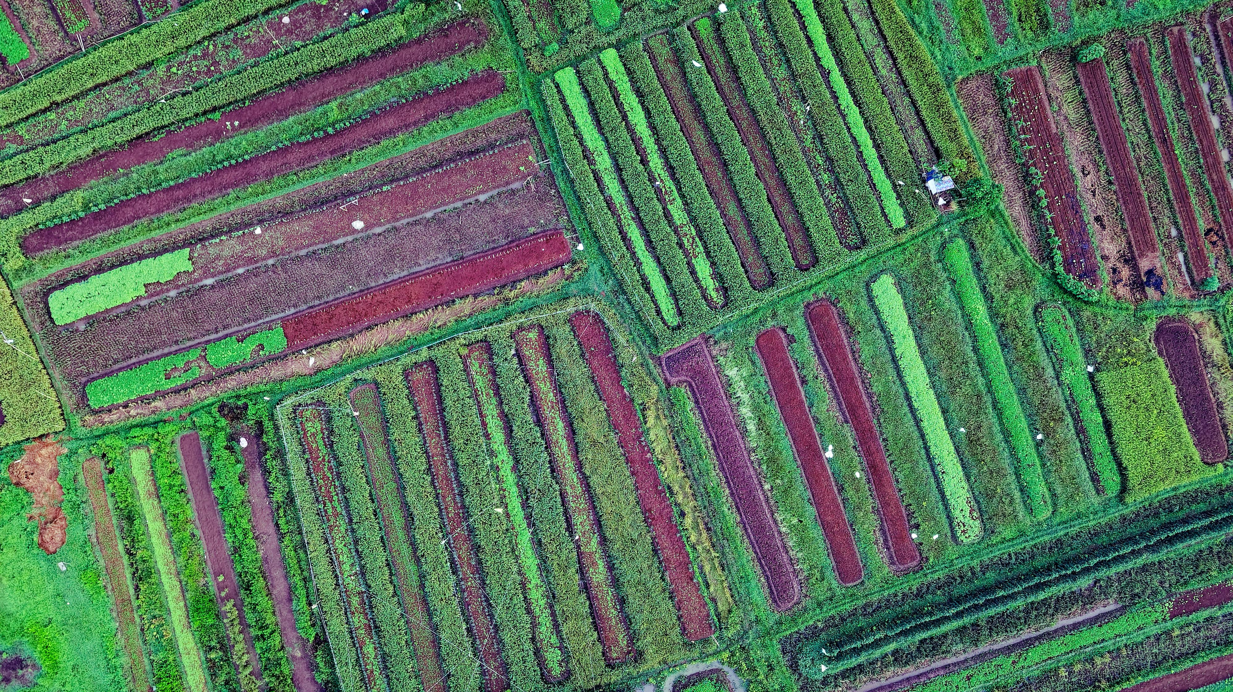
GIS technology enables the county to map properties, businesses, and infrastructure precisely. This helps identify revenue sources, minimize leakages, improve urban planning, and support environmental management.
The initiative involves collaboration between Murang’a County Government, the Food and Agriculture Organization (FAO), ESRI (GIS software provider), LocateIT (technical setup), and Airbus (aerial imagery provider).
The GIS system helps ensure fair taxation, enhances public service delivery, supports better urban planning, and guides sustainable development — leading to improved infrastructure, services, and quality of life for all residents.
The GIS system maps properties, businesses, and infrastructure, providing an accurate, up-to-date spatial overview of the county. This data supports multiple functions — from identifying revenue sources and reducing leakages to guiding urban planning, environmental management, and public service distribution. Key partners like ESRI, LocateIT, and Airbus contribute software, technical expertise, and high-resolution aerial imagery to power this transformative initiative.